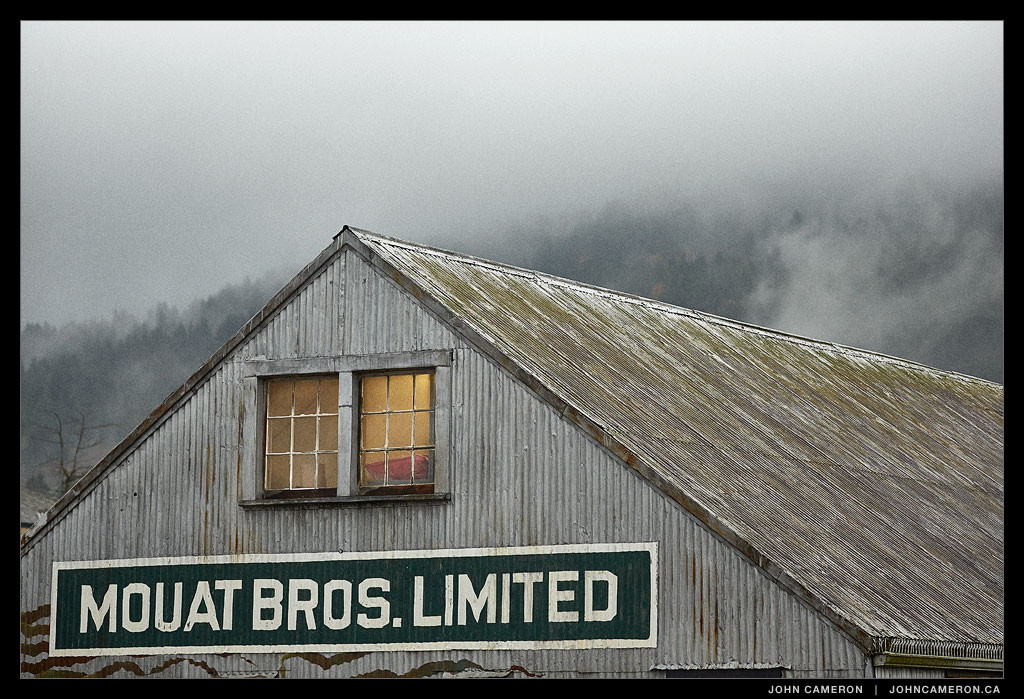
The well used waterfront storehouse of the Mouat’s building seen here on a dark and dreary—but somehow lovely—November afternoon. You can also see the storehouse in this 1928 photo at the Salt Spring Island Archives.
Salt Spring Photographer John Cameron
The well used waterfront storehouse of the Mouat’s building seen here on a dark and dreary—but somehow lovely—November afternoon. You can also see the storehouse in this 1928 photo at the Salt Spring Island Archives.

A path through the woods used to go straight through here. But a large fir fell in a windstorm and, over a few years, became a still life where the sun plays over wet vegetation.
Now we stop, look, then travel the detour.

There are divided perceptions on whether this area is a road or a parking lot.
Purvis Lane—I had to look up the name—has parking areas on both sides through the downtown core.
Or, if you prefer, Purvis lane runs through the middle of two parking areas.
Or, perhaps, Purvis lane is both the entrance and the exit to the parking areas downtown!
No matter how you slice it, driving and walking in the area are challenging and no place to be using those handheld electronic devices.
In the photo above we see what is clearly a local, acutely aware that he’s taking both his and a dog’s life in his hands. He’s on foot, travelling from one parking lot, across the road and into another parking lot. Intrepid.

This is a rare sighting of the underwater creature that frequents the Grace Islet area.
A long exposure (32 seconds) gave the waves a soft, creamy look.
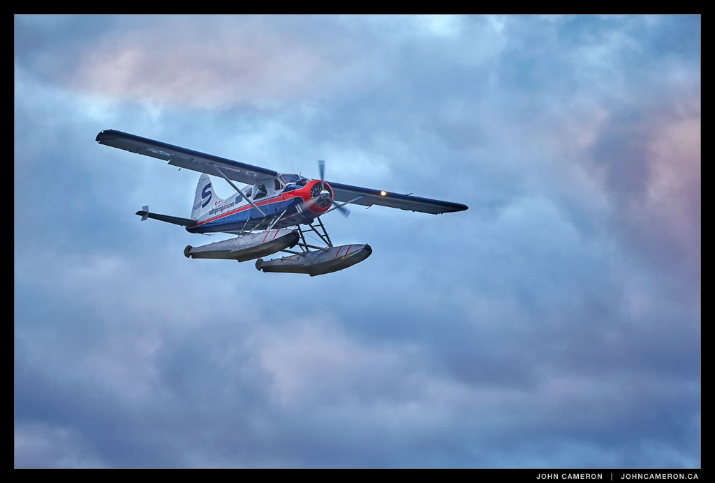
Salt Spring Air’s de Havilland Beaver C-FZZJ makes a last-light approach into Ganges Harbour.
ZZJ looks great against the sunset-illuminated clouds.