
If I had a regular morning commute, my route would pass this ever-changing scene on St. Mary Lake.
Much of Salt Spring Island’s water comes from this lake. Certainly a resource worth protecting.
And the changing view is priceless.
Salt Spring Photographer John Cameron
If I had a regular morning commute, my route would pass this ever-changing scene on St. Mary Lake.
Much of Salt Spring Island’s water comes from this lake. Certainly a resource worth protecting.
And the changing view is priceless.
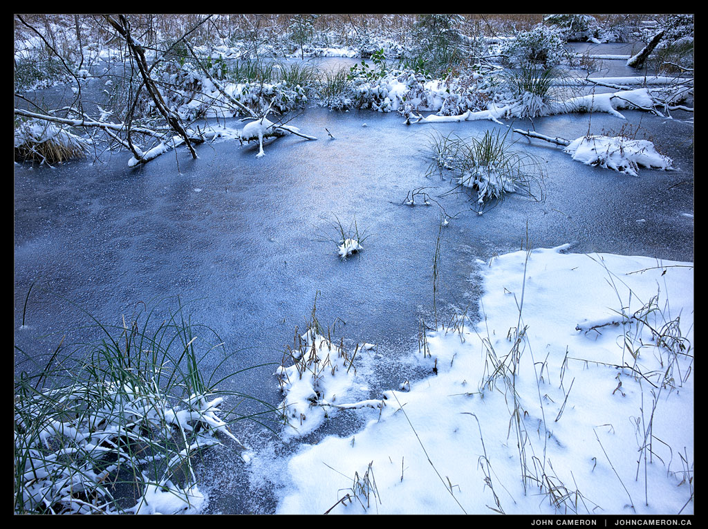
Here’s a pond along the the side of the Mount Maxwell road seen during the last ‘cold’ spell. Hopefully we’ll see more of that soon!

Mount Erskine Summit
A sunny break reveals a tug towing a self loading log barge into the Sansum Narrows area.

The runoff from three back-to-back ‘pineapple express’ storms got me thinking that I’d never seen the waterfall on Mountain Road. Well, here it is; the top quarter.

4:45 pm
Certainly one of the iconic Salt Spring Island scenes. We’re looking from Salt Spring southward towards Sansum Narrows. That’s Salt Spring on the left and Vancouver Island to the right (west). Maple Bay is tucked in around the western point. A recent photo of the day was also looking towards Maple Bay but from Mount Maxwell.
The vapour trails in the sky show the paths of flights from Vancouver Airport heading toward the USA and beyond.
(This scene is faithfully portrayed on a colour balanced monitor. The post-sunset colours are what was seen at the time the image was captured. I say this only because of the disturbing trend toward ‘over-photoshopped’ images we see on the web and on TV.)