
If I had a regular morning commute, my route would pass this ever-changing scene on St. Mary Lake.
Much of Salt Spring Island’s water comes from this lake. Certainly a resource worth protecting.
And the changing view is priceless.
Salt Spring Photographer John Cameron
If I had a regular morning commute, my route would pass this ever-changing scene on St. Mary Lake.
Much of Salt Spring Island’s water comes from this lake. Certainly a resource worth protecting.
And the changing view is priceless.

The Gulf Islands Secondary Music Program was at ArtSpring Theatre yesterday for a tech/dress rehearsal.
The place was packed with talent. The student above has a most incredible voice and seems completely comfortable moving from instrument to instrument.
Tonight they’ll wow a sold out audience.

Yeo Point
There’s a nice pebble beach in the bay and a large smooth rock areas at the point. Views extend across to the Channel Islands and to the Beaver Point area. I could hear announcements as a ferry passed several kilometres away. Other than that, the sights and sounds were perfect.
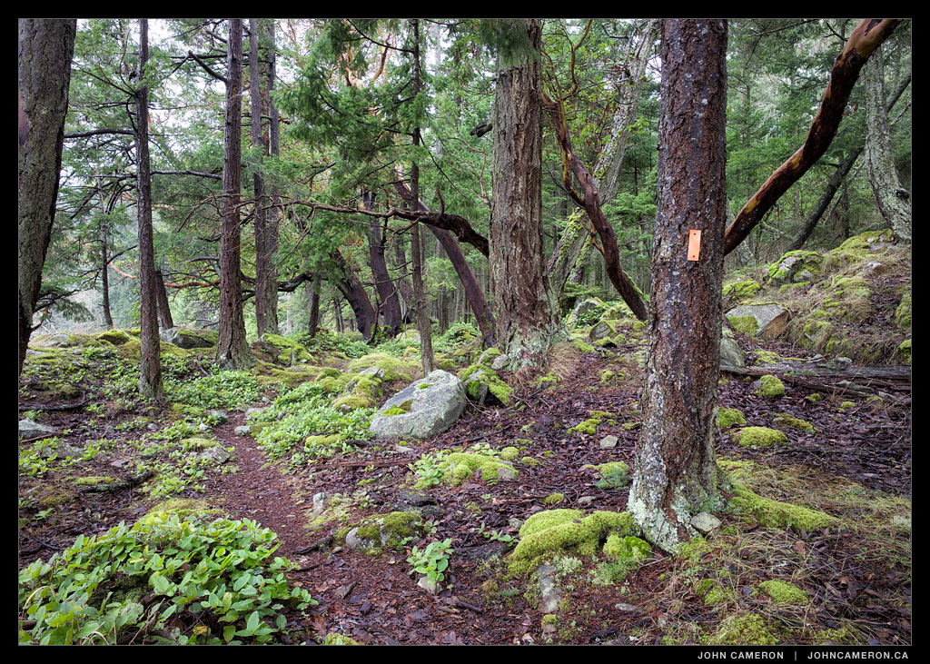
OK, that’s it for the Chris Hatfield Trail. As mentioned earlier, the built structures and other surprises (which I did photograph…) remain for you to discover as you walk another of Salt Spring Island’s interesting hiking trails.
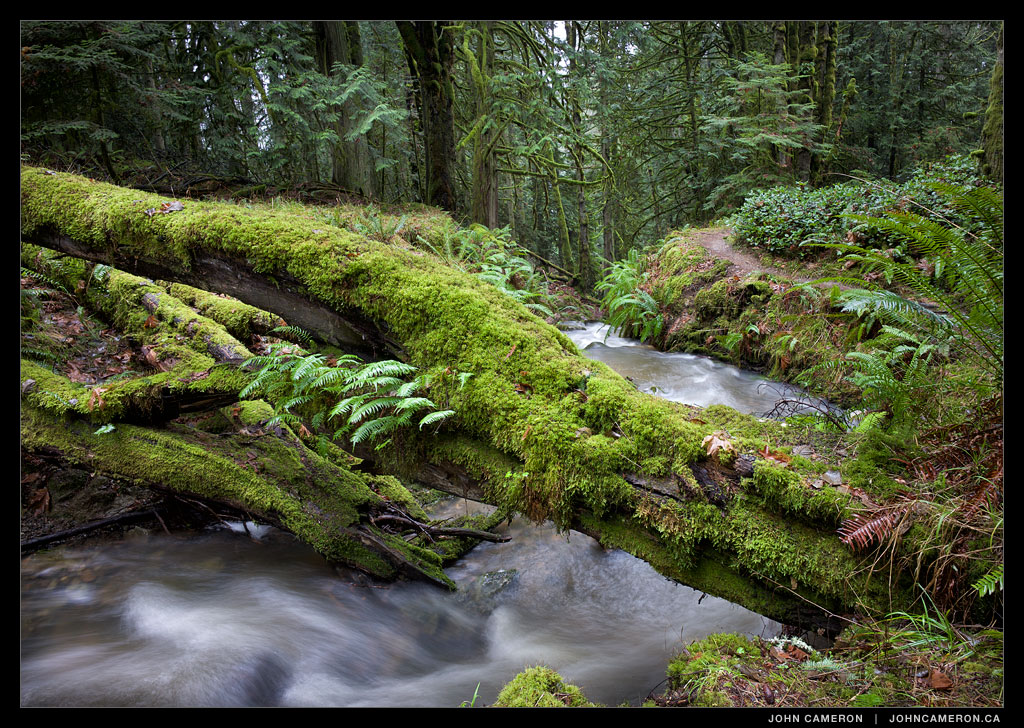
The trail crosses a small bridge over this stream. This is the intersection; left is a short downhill walk to the south side of Cusheon Cove. Or straight ahead to a slightly longer walk down to Yeo Point, on the edge of Ruckle Provincial Park.