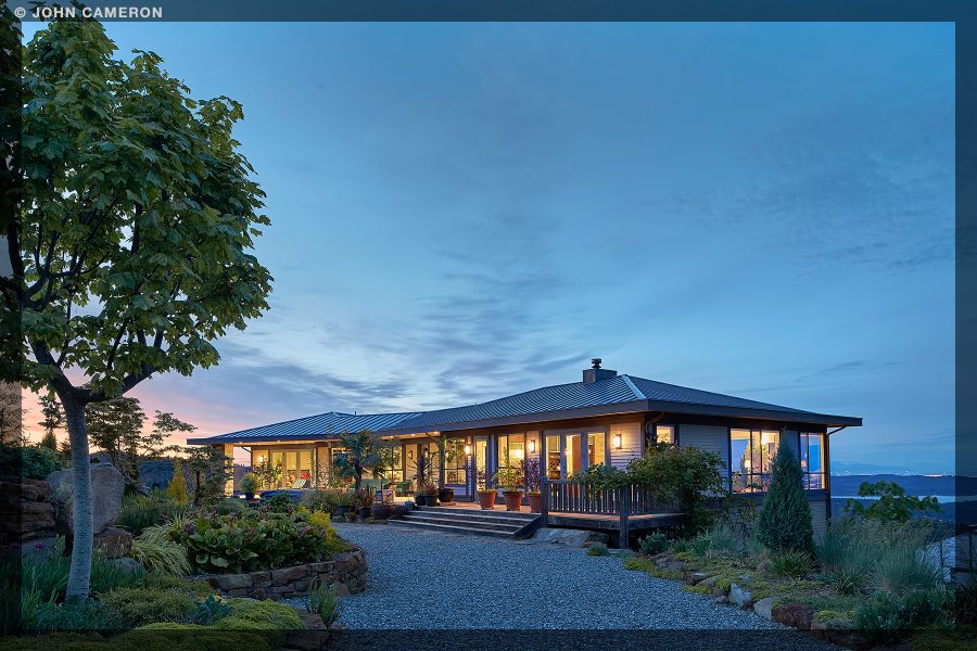
Another lovely Salt Spring home with a killer view. Photographs taken at twilight often do a great job of conveying a home’s character.
Salt Spring Photographer John Cameron
I’m thinking that the black and white conversion below might not translate well on some screens, but at full size, the texture and detail come alive here on a 5K screen:


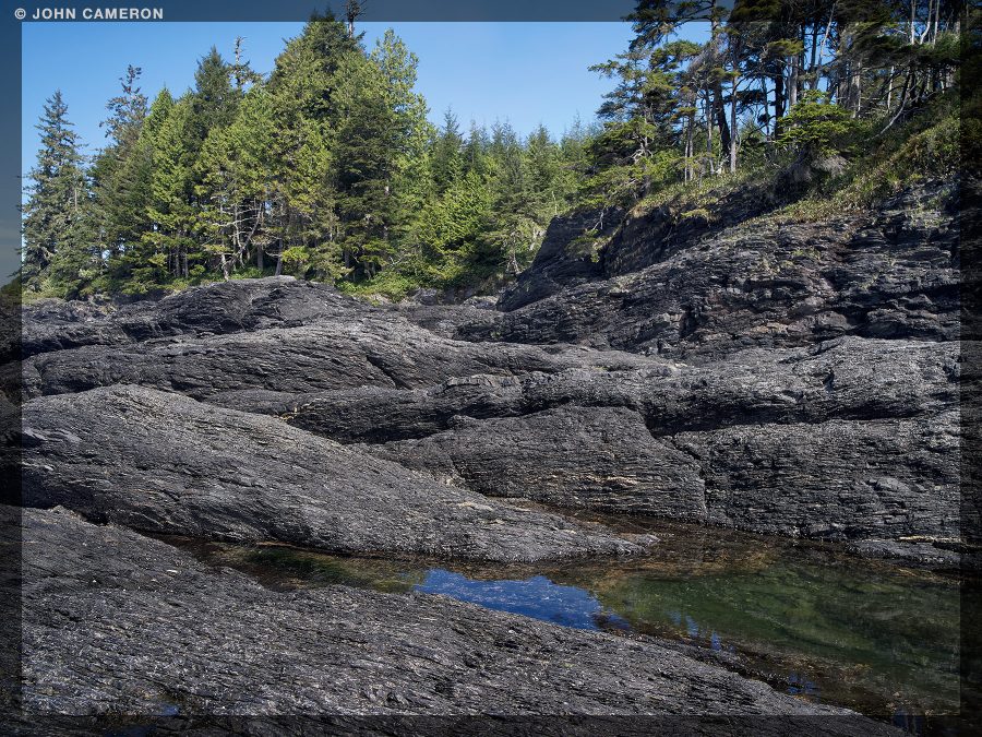
Not everyone’s idea of a beach I guess, but I seem to gravitate to it. I tend to think of the area as two beaches, Botanical Beach and Botany Bay—they’re joined but there’s no sign saying where one ends and the other begins. Not that it matters of course, but it makes the hike doubly entertaining as each beach has it’s own distinctive character.
Just outside Port Renfrew, the beaches are at one end of the Juan de Fuca Marine Trail. From the parking lot there’s a loop trail so you can walk down to the ocean (you’ll want to be there at a one foot tide or lower) explore the tide pools on the long, wide, and flat Botanical Beach, then find your way around the headland above, explore the raw beauty of the Botany Bay area, then hike the rest of the loop trail back to the parking lot.
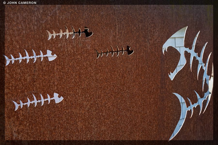
If you’ve spent time waiting at the Vesuvius Terminal—and who hasn’t—you’ve probably watched the light play on this artwork. If not, be sure to check it out. In this photo though we’re looking through the cutouts in one of the metal fence panels and seeing bits of a building behind.
We often credit architects for ‘seeing’ the sightlines inside a building before the building has, well, been built. I wonder if the same is true in this case? Did the metal fabricator plan this see-through effect?
