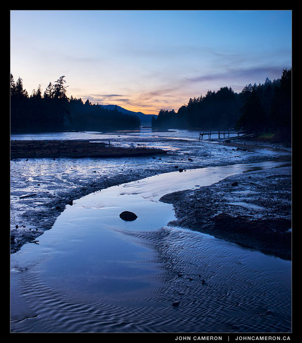
Booth Bay becomes Booth Canal, seen near the centre top third of this image.
The canal is also called Booth Inlet, probably because the ‘canal’ is no longer navigable at low tide.
Salt Spring Photographer John Cameron
Booth Bay becomes Booth Canal, seen near the centre top third of this image.
The canal is also called Booth Inlet, probably because the ‘canal’ is no longer navigable at low tide.

A de Havilland Beaver heads out Ganges Harbour last week though sea fog on the sunrise flight to downtown Vancouver.
4:45 p.m.
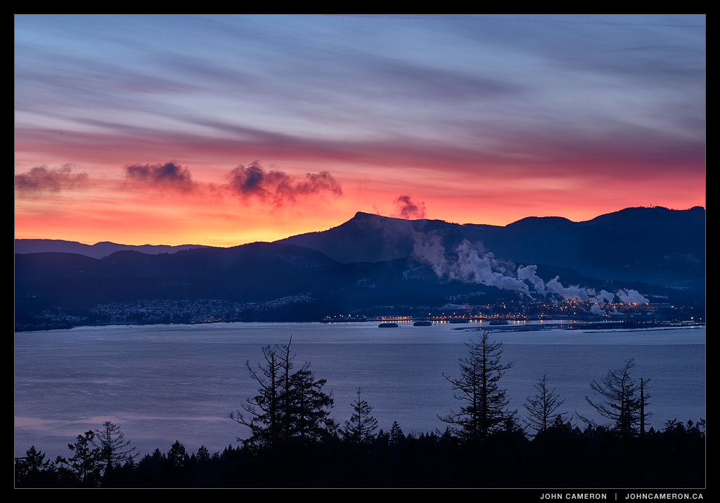
Crofton and the mill on Vancouver Island as seen earlier this week from western Salt Spring Island.

4:45 pm
Certainly one of the iconic Salt Spring Island scenes. We’re looking from Salt Spring southward towards Sansum Narrows. That’s Salt Spring on the left and Vancouver Island to the right (west). Maple Bay is tucked in around the western point. A recent photo of the day was also looking towards Maple Bay but from Mount Maxwell.
The vapour trails in the sky show the paths of flights from Vancouver Airport heading toward the USA and beyond.
(This scene is faithfully portrayed on a colour balanced monitor. The post-sunset colours are what was seen at the time the image was captured. I say this only because of the disturbing trend toward ‘over-photoshopped’ images we see on the web and on TV.)
